
Finding New Milford Streets by Address
A street directory search works best as a chain, not a single name lookup. Begin with the exact address in the Vision property search. Capture the PID, MBLU, account, owner, situs, mailing address, sale lead, and building facts. Use that parcel key in MapGeo, then move to the Town Clerk’s grantor-grantee index. A voter lookup, permit file, or dated directory can add a separate person or use clue, but each clue needs its own label.
The walkthrough below keeps current parcel work separate from household inference. It is especially useful in New Milford’s Village Center, where Main, Bridge, and Railroad streets bring civic, commercial, and historic sources close together.
- Enter the street address in Vision and preserve the returned spelling, unit, PID, MBLU, and account.
- Open MapGeo, search by location or parcel number, and compare the point with adjacent parcels and map themes.
- Use the parcel owner and sale lead to search RecordHub by grantor, grantee, date, or historical index mode.
- Check zoning, building, or wetlands records when the question concerns a public application or change to the parcel.
- Use a dated directory, voter route, or court property search only for the narrower question that source can answer.
Vision’s New Milford Street Browser
The Vision street browser is a helpful entry point when the road is known but the parcel number is not. It presents alphabet tabs from A through Z, with no X tab observed in the captured public view. Selecting a street leads to assessor parcel records rather than a people list. Several parcels can share a street, and a parcel may have a mailing line outside New Milford.
The browser is therefore a street index in the assessor’s sense. It gives the searcher a controlled way to find the road spelling used in the property system, then each parcel can be read on its own. Record the source string before trying alternate spellings, unit labels, or village names.
The public New Milford assessor street browser shows the browse route and its limits.
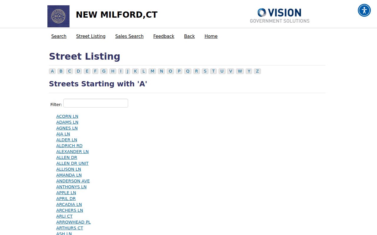
Once a street entry opens, move to the parcel card and keep the PID beside every later deed, map, or permit note.
New Milford Parcel Records
Vision accepts a source choice of Address, Owner, Acct#, Mblu, or PID, followed by a general value. The MBLU path breaks the identifier into Map, Map Cut, Block, Block Cut, Lot, Lot Cut, Unit, and Unit Cut. MapGeo offers Name, Location, and Parcel Number concepts. The fields are not interchangeable, so a failed PID search does not disprove a parcel when the source string is actually an MBLU or account.
| Vision source | Address, Owner, Acct#, Mblu, or PID |
|---|---|
| General value | Address, owner name, account, MBLU, or PID text |
| MBLU parts | Map, Map Cut, Block, Block Cut, Lot, Lot Cut, Unit, Unit Cut |
| MapGeo Name | Name search concept in the public viewer |
| MapGeo Location | Address or location search concept |
| MapGeo Parcel Number | Parcel-number search concept |
In plain terms, a parcel is a mapped unit of land; a situs address is the physical location used by the assessor; a plat is a survey or subdivision drawing; a criss-cross directory reverses the usual name-to-address order and starts with the street.
- Parcel
- A mapped tax or land unit identified by local keys such as PID or MBLU.
- Situs address
- The physical address attached to the parcel record, distinct from a mailing address.
- Plat
- A survey or subdivision map that shows lots, lines, and recorded relationships.
- Criss-cross directory
- A dated address-first directory that can turn a street and number into a name lead.
The New Milford MapGeo viewer can supply the location and parcel-number cross-check, but its data disclaimer means title and boundary questions belong with the proper town record.
Walking a New Milford Parcel Map
MapGeo is most useful as a spatial companion to Vision. Search by address or parcel number, inspect the surrounding shapes, and note themes for zoning, aquifer protection, Candlewood Lake watershed, or sewer districts. The live viewer’s exact adjacent-parcel control was not exposed in the unattended capture, so ordinary map browse and parcel clicks are the documented method.
A map layer describes geography, not title or occupancy. Use the parcel number to open an assessor record, then compare the legal description and deed index if a boundary or ownership point matters. Nearby shapes can show which parcels form a block, but they do not show private household relationships.
The Town’s GIS explanation identifies a useful division: the assessor supplies parcel data, the GIS viewer hosts map layers, and the Town Clerk keeps land records and maps.
The New Milford MapGeo parcel viewer shows the public map and theme route.
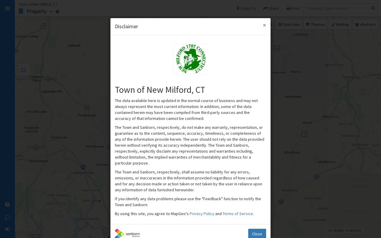
That division keeps the New Milford street directory grounded in the right source for each claim.
New Milford Records by Street
Several public record sets can be keyed to an address, but they do not carry the same meaning. The table is a coverage map for a street search. It shows where an address clue can go next and what the result can reasonably establish.
| Record Set | Keeper | What It Shows | Access |
|---|---|---|---|
| Assessor parcel | New Milford Assessor / Vision | PID, MBLU, owner, situs, mailing, value, building and sale lead | Public online search |
| GIS property layer | Town GIS / MapGeo | Parcel position, themes, map and resource links | Public viewer |
| Deed index | Town Clerk / RecordHub | Grantor, grantee, instrument date, book/page and image lead | Online plus Town Hall fallback |
| Zoning and permits | Zoning, Building, Inland Wetlands | Applications, proposed work, plans, inspections or wetlands review | Portals, PDFs, or defined request |
| Court property search | Connecticut Judicial Branch | Covered case route tied to town, street, ZIP, type, or status | Public limited search |
| USPS address | United States Postal Service | Deliverable postal line, ZIP, ZIP+4, or post office | Address-by-address lookup |
For the full record chain, parcel ID ties the assessor card to a deed search, while the street text links several parcels into a road-level view. A voter, directory, or court result should remain a separate dated evidence line.
The New Milford RecordHub land-record page shows the online index and request route.
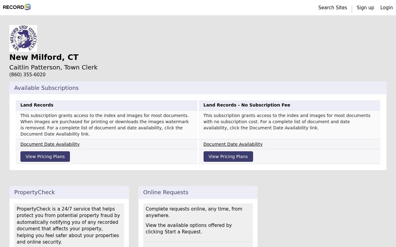
The New Milford RecordHub page offers the online land-record route, but the Town Clerk says New Milford land records are described from 1712 and the exact online cutoff is not confirmed.
Village and Rural New Milford Streets
New Milford’s address language carries local history. The Village Center around the Green, Main, Bridge, and Railroad streets is a civic and commercial anchor. Gaylordsville, Northville, Merryall, and Lanesville appear in town history, planning, polling, and community material. A directory or newspaper may use a village name that is not the current postal city line.
Gaylordsville has an especially useful layered identity. The Historical Society timeline records a 1725 log house and an 1843 station name, Merwinsville. The registrar lists the Gaylordsville Fire House as a polling location, while USPS material associates the area with ZIP 06755. Those details help narrow a historic search, but none of them proves where a person lives.
Keep a village label, postal line, legal town, and assessor situs as separate fields when the same address appears in more than one source.
The New Milford zoning-map page documents the theme and map route.
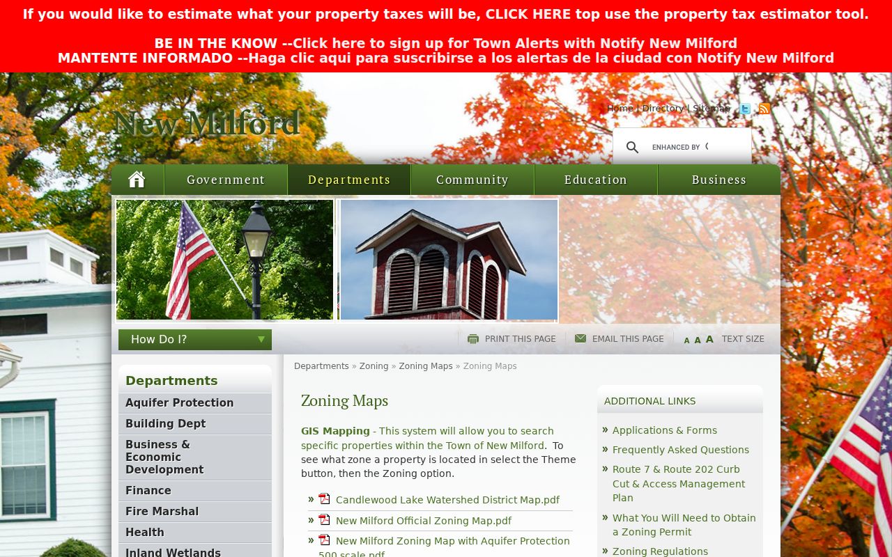
The town zoning map is a planning layer that can explain a street’s setting without turning zoning into a household record.
New Milford Permits and Land Use
Address research often reaches a permit or application before it reaches a person. New Milford’s zoning materials route site-plan and special-permit searches through ViewPoint Cloud by address or application number. Online permitting, building permits, inspections, certificates, and monthly permit PDFs provide other municipal paths. Inland Wetlands applications can add a parcel, plan, and commission context.
These records describe regulated activity. An application can be pending, a permit can have conditions, and a plan can differ from the finished work. A permit applicant is not automatically the owner or occupant. Compare the application date, parcel key, plan, and certificate or inspection status, then ask the department for a defined file if the public index stops early.
The New Milford ViewPoint Cloud portal shows the application route for public searches.
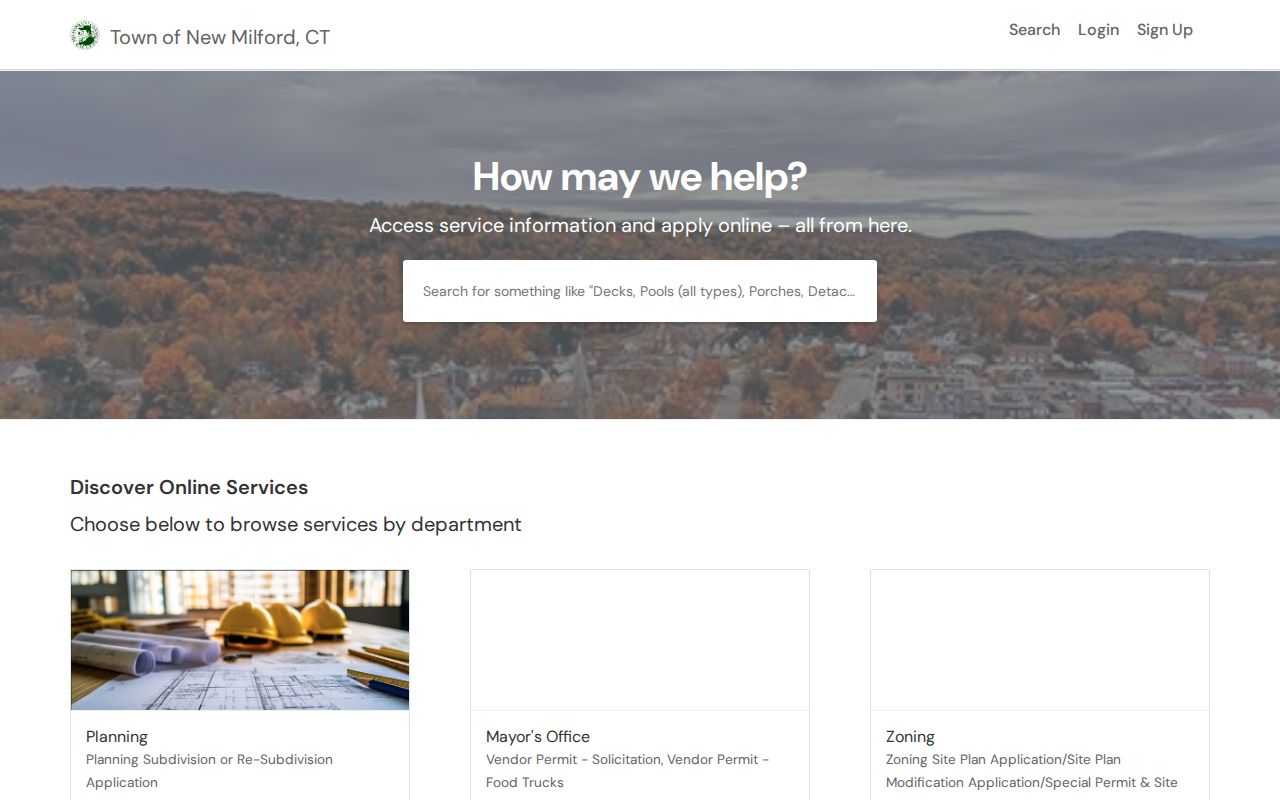
The image shows why a street directory can include land-use clues while still keeping resident identity claims out of the permit record.
New Milford Sales Search by Street
The Vision sales form looks across a set of parcels using a required sales date range and optional price, land-area, building-area, model, style, and neighborhood filters. Land area can be expressed in square feet or acres. The model list includes vacant, residential, mobile home, condominium, commercial, service-station, and industrial categories. The long style list includes such entries as Ranch, Colonial, Cape Cod, apartments, stores, offices, churches, and vacant land.
These labels are search filters, not a final statement about present use. A sales result is a dated transaction lead, and the parcel card or deed is needed for interpretation. Compare one street’s results by PID and sale date rather than treating a price or style as a description of the people connected with the property.
The Vision sales-search form is the documented route for date and property filters.
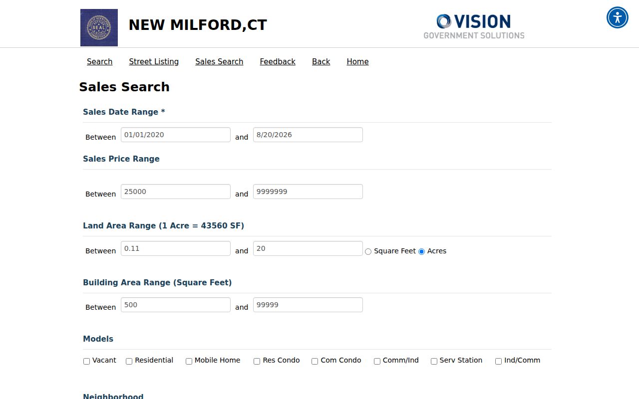
Use sales data to choose the next parcel or deed record, not to infer a household from a transaction alone.
Historic New Milford Street Clues
Old street work needs a crosswalk. The Library of Congress identifies New Milford Sanborn sheets from 1887, 1892, 1897, 1904, and 1909. The 1853 named-owner map predates Bridgewater’s 1856 separation and uses selected buildings and owners rather than modern parcel IDs. Directory runs and telephone books add dated names, addresses, and business clues.
When a current street number does not match a historic source, compare the building footprint, nearby public place, river or railroad reference, and legal description. The Historical Society timeline names Aspetuck Avenue and Elkington Road as early highways. A station name such as Merwinsville may be more useful than a modern postal search for a railroad-era entry. Treat every match as a lead until a deed, directory, map, or newspaper confirms the date.
For the historical collection itself, the New Milford directory book explains the listed editions and how to read a dated entry.
New Milford ZIP Street Lines
A postal ZIP is not the same thing as a town line, parcel, polling district, or neighborhood code. New Milford’s principal postal ZIP is 06776, while 06755 is associated with the Gaylordsville area. USPS verification is the final step for an individual address. Vision returns situs and mailing fields after an address or parcel search, and those fields can differ.
The Judicial Branch property-address search accepts a city or town, partial street, full five-digit ZIP, case type, property type, and active or disposed status. It narrows covered court cases, not every parcel along a road. Keep the postal line as an address clue and the assessor or deed description as the land record.
Limits of a New Milford Street Directory
A street directory cannot show every household member, private phone or utility customer, protected voter, sealed court detail, or current occupant. An owner can be a trust, LLC, town, or other entity. An owner mailing address can be in another town. A directory entry can be old, a permit applicant can be a representative, and a polling district covers many addresses.
Connecticut FOIA gives access to existing public records, not an automatic right to a new list of everyone on a street. When no portal answers the question, identify the agency, record type, and date range in a narrow request. The custodian can apply exemptions and redact sensitive fields.
Lawful use. New Milford address records are for personal, lawful research. Do not use a street search to stalk, harass, intimidate, or harm anyone, and do not treat a public owner record as proof of a private person’s current home.
A careful New Milford street directory keeps the source, date, parcel key, and interpretation beside each result. For one named person, move to the New Milford resident lookup workflow instead of expanding a street list beyond what the record can support.