
New Milford ZIP Codes and Areas
The documented postal picture is cautious. 06776 is the principal New Milford postal ZIP. 06755 is associated with the Gaylordsville area within the wider New Milford geographic context. The research did not locate one official page listing every ZIP that touches the legal town boundary, so an address-specific USPS check remains the final test.
| ZIP Code | Areas Covered | Post Office / Source | Notes |
|---|---|---|---|
| 06776 | Principal New Milford postal city and central town addresses | New Milford Post Office, 37 Main Street | Postal line is not a legal boundary |
| 06755 | Gaylordsville-area association within New Milford’s geography | USPS material plus town place references | Verify each address through USPS |
| 06777 | New Preston Marble Dale | Regional postal context | Not a New Milford serving ZIP |
A ZIP code can cross a municipal line, and a legal town can have more than one postal city or village label. The ZIP code directory should preserve that mismatch instead of smoothing it away.
New Milford ZIP 06776 Post Office
The New Milford Post Office is at 37 Main Street, New Milford, CT 06776-9998, with telephone 860-354-5563. The official postal bulletin lists New Milford, Connecticut, 06776. Those facts identify a postal service point and routing line. They do not show the legal owner of a parcel or the people who receive mail there.
Use the city-and-state route when comparing a general postal place, and switch to the address route when a specific house or unit matters. Preserve ZIP+4 when USPS returns it. A town website, assessor card, or directory may keep a different city line, especially around a village or border.
The New Milford USPS location page supplies the public facility details.
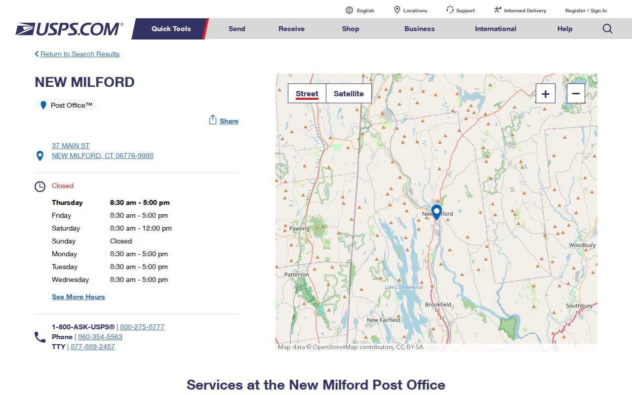
The postal facility anchors the ZIP code directory, while the USPS lookup is the address-by-address verification tool.
New Milford ZIP 06755 Clue
Gaylordsville makes New Milford’s postal geography unusually useful for historical searching. The registrar lists a Gaylordsville Fire House polling site, the Historical Society timeline records a 1725 log house and an 1843 station name, Merwinsville, and USPS material associates the area with 06755. A directory or newspaper may use Gaylordsville, Merwinsville, New Milford, or another local description for related places at different times.
That vocabulary can help locate a dated source, but it cannot identify a resident. Check the postal line with USPS, the situs and PID with Vision, the map location with MapGeo, and the legal description with the Town Clerk when title or boundary matters.
The New Milford registrar page documents the polling and village reference.
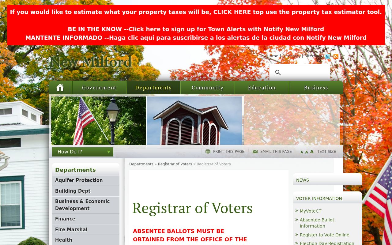
A polling district is civic geography, not a ZIP code roster, so keep the two labels separate.
Finding New Milford Residents by ZIP
Most New Milford portals do not provide a ZIP-wide resident list. Vision searches by address, owner, account, MBLU, or PID and returns ZIP or mailing information only when the property record contains it. MapGeo searches by name, location, or parcel number. The Judicial Branch property-address form accepts a full five-digit ZIP, but only for covered court matters. eLicense accepts city and ZIP as credential filters.
- Run the complete street address through USPS and save the postal city, ZIP, and ZIP+4 if supplied.
- Search the same address in Vision, preserving the assessor’s situs, mailing line, PID, and MBLU.
- Use MapGeo to place the parcel and compare town, village, zoning, watershed, and sewer themes.
- For a court question, use the property-address form with city, partial street, ZIP, case type, property type, and status.
- Once one ZIP narrows the address, continue with the New Milford street directory for parcel-by-parcel work.
The process yields a verified address clue, not an inferred list of people. A named person still needs the appropriate resident lookup and a second identifier.
ZIP Filters in New Milford Portals
The court property search is the clearest documented ZIP-capable portal in the research. It requires at least three partial characters for the city or town, accepts a partial street, and expects a full five-digit ZIP. It also filters by case type, residential or commercial property type, and active or disposed status. That is a case search, not a parcel or resident search.
| City or town | Required; minimum three partial characters |
|---|---|
| Street | Optional partial street text |
| ZIP | Optional full five-digit ZIP |
| Property type | Residential, Commercial, or All |
| Status | Active, Disposed, or All |
The assessor and MapGeo do not expose a ZIP-filtered residents list in the documented public controls. The voter form was not rendered in the unattended capture, so no ZIP field should be inferred. eLicense does document address, state, city, and ZIP filters for credential searches.
The other routes have their own scope. USPS offers a city-and-state lookup or an address lookup, and the address route is the reliable choice near a town edge. Secretary of the State business results can display a street address, city, state, and ZIP, but the live input fields were not confirmed. A business filing or credential record can place an entity in a postal area without proving a person’s residence. The ZIP code directory stays accurate when each portal is described by its actual search field and result type.
The Judicial Branch property-address form is the documented ZIP-capable court search.
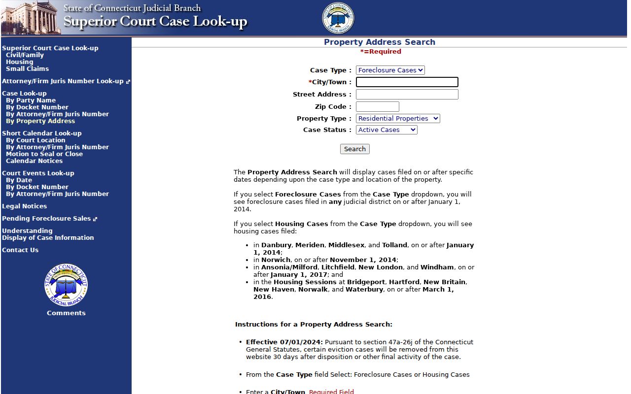
The Judicial Branch property-address search shows how ZIP narrows a defined case category without becoming a general directory.
New Milford ZIP Boundaries and Town Lines
ZIP geography and legal geography overlap only in part. A ZIP is a postal routing designation. A town line is a legal boundary. A village is a place label. A polling district, school name, zoning code, sewer district, and parcel neighborhood can all cover a different shape.
- ZIP versus ZIP+4
- The five-digit ZIP identifies a broader delivery area; the extra four digits narrow delivery to a route, block, or specific segment.
- PO-box ZIP
- A postal code used for boxes or a postal facility rather than a normal street-delivery area.
- Unique ZIP
- A code assigned to one organization or institution, not a general neighborhood.
- Carrier route
- A delivery path within a postal area, smaller than the broader ZIP code.
Because the research did not locate a complete official list of every ZIP touching New Milford, label the known postal associations carefully and verify the exact address before assigning a town, village, or ZIP description.
Do not confuse a ZIP code with ZIP+4, a carrier route, or a unique code for one institution. Those smaller delivery concepts can explain why two nearby addresses share a five-digit code but receive different extended lines. The postal result remains a delivery statement, not a parcel, voter, or household statement.
Boundary checks also protect historical work. A village or station name in an old directory can predate the postal line, while a current ZIP can cross a municipal boundary. Keep the source’s exact wording, note the edition or lookup date, and use the legal town only after the address and parcel records support it.
New Milford ZIP 06777 Boundary
New Preston Marble Dale is associated with 06777 in the postal context reviewed. It should not be placed in the New Milford ZIP code directory as a serving ZIP without an address-specific official result. A nearby place name can appear in a regional directory or newspaper without changing the legal municipality of the address being researched.
The safe method is simple: read the USPS result, then compare the assessor situs and MapGeo parcel. If a source disagrees, retain both labels and state which agency supplied each one. Do not use a ZIP alone to assign a resident or to decide that an old address belongs to a modern town.
New Milford Population Versus ZIP Geography
QuickFacts reports a New Milford town population estimate of 28,941 on July 1, 2025, with an April 1, 2020 estimate base of 28,120 and a 2.9 percent change figure. Those numbers describe the legal town, not ZIP 06776, ZIP 06755, a neighborhood, or a parcel. They cannot show how many people receive mail at an address.
Population statistics can give broad civic context, but the ZIP code directory must keep the geography precise. If a future question asks for ZIP population, it needs a separate Census product with the exact postal or statistical geography named.
The town estimate also cannot be divided among 06776 and 06755 by simple arithmetic. Postal service areas, Census geographies, and municipal boundaries use different units. A defensible count must name its geography and source instead of treating the ZIP code directory as a population table.
Verify New Milford ZIP Addresses
Finish every ZIP code search with the address, not the ZIP. USPS supplies the deliverable line. Vision supplies the assessor situs, PID, MBLU, owner, and mailing fields. MapGeo supplies a map position and themes. The Town Clerk supplies recorded land instruments and legal descriptions. A court ZIP result, voter district, or directory entry may be useful context, but none replaces those custodians.
When the postal line differs from the assessor or deed line, the difference is a finding. It may reflect a village name, a mailing address, an old jurisdiction, a parcel label, or a postal boundary. Write the source and date beside it, then ask the responsible office if the mismatch affects the record request.
A practical final sequence is USPS address result, exact postal city and ZIP+4, Vision situs and PID, MapGeo point and theme, then Town Clerk legal description when title or boundary matters. Preserve every mismatch. It is often the clue that separates Gaylordsville place language from a central New Milford mailing line, or a historical directory entry from a current postal address.
Postal check. New Milford’s ZIP code directory is a routing aid. It should never be used alone to assert who lives at an address or where a legal parcel sits.