
Looking Up New Milford Neighbors
A block search is a parcel exercise first. Begin with the target address, identify its PID or MBLU, and then inspect nearby parcels one at a time. The assessor may name an owner or entity and show situs and mailing lines. MapGeo can show parcel position and themes. A deed index can explain a transfer. A dated directory can add a historical street entry. These sources describe a block from different angles and do not prove who is inside each building.
| Source | What It Shows About a Block | Access |
|---|---|---|
| MapGeo parcel layer | Adjacent shapes, parcel numbers, map position, themes | Public map browse and click |
| Vision property card | Owner or entity, situs, mailing, value, building and sale fields | Public address, owner, account, MBLU, or PID search |
| Town Clerk deed index | Transfers, parties, dates, book/page, legal descriptions | RecordHub or Town Hall |
| Zoning and permit files | Address-linked applications, proposed work, plans, or reviews | Portals, PDFs, or defined request |
| City directory | Dated names and street entries for an earlier block | Regional repositories and libraries |
| Civic organizations | Public community-network and place clues | Town clubs and association list |
Owners, mailing lines, permit applicants, and historical entries are evidence types, not interchangeable neighbor identities. Keep the limitation beside the result.
New Milford Neighbor GIS Parcels
MapGeo is the local spatial starting point. Its documented search concepts are Name, Location or address, and Parcel Number, with public map browsing, themes, and property resources. The live JavaScript layer list and a specialized adjacent-parcel control were not exposed in the unattended capture, so the reliable method is to search the target, use map browse or clicks, and record each nearby parcel number.
Move each parcel number into Vision, then compare owner, mailing address, building year, use, neighborhood code, and sale lead. If the question concerns title or a boundary, use the Town Clerk land record. MapGeo’s data disclaimer says its information is compiled from third parties and updated in the normal course without warranty.
The New Milford MapGeo viewer is the public map route.
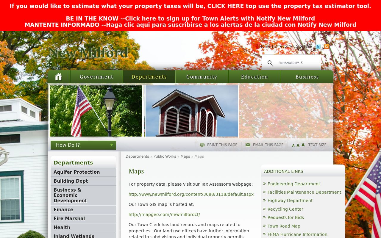
The GIS page helps establish block geography, while the assessor and deed records carry the more specific parcel evidence.
Mapping New Milford Neighbor Blocks
Use a simple address-to-parcel flow and stop when the source no longer supports the claim. The goal is to identify public parcel relationships and community context, not to assemble a private list of household members.
- Search the target address in MapGeo and save the location, parcel number, map position, and relevant theme.
- Click or browse the surrounding parcels and record each PID, MBLU, street line, and source date.
- Read each Vision card separately, labeling owner, entity, situs, mailing address, building facts, and sale lead.
- Use the Town Clerk index for a deed, mortgage, lien, release, survey, or legal-description question.
- For the whole named street, switch to the New Milford street directory address chain rather than widening a block list.
The process is: target address → MapGeo parcel → adjacent PID → Vision card → deed or map cross-check → dated community source. A mailing line or owner name is never the final step by itself.
New Milford Neighbor Owner Records
New Milford’s public parcel samples show why neighbor research needs exact labels. PID 4829 at 7 Main Street lists New Milford Green LLC, an Ind/Comm model, and a Danbury mailing address that differs from the New Milford situs. PID 4854 at 10 Main Street lists the Town of New Milford and City Hall facts. The nearby address pattern can therefore include an LLC, a public building, a business, or a private parcel.
| Owner | Name or entity shown by the assessment record |
|---|---|
| Situs | Physical parcel address used by the assessor |
| Mailing | Address used for notices, which may be elsewhere |
| PID / MBLU | Local parcel keys for joining map and property records |
| Building facts | Year, style, model, use, area, stories, and outbuildings as listed |
A neighbor lookup should say “listed owner” or “adjacent parcel” rather than converting an assessment field into a current household claim.
New Milford Neighbor Clubs
The town’s official clubs and associations page is the closest documented civic substitute for a formal neighborhood-association directory. It lists groups connected with history, trails, conservation, arts, literacy, villages, amateur radio, and civic service. These organizations can help explain how a block connects to a wider place, but a public group list is not a member roster or address directory.
| Official Lead | Community Context | Useful Question |
|---|---|---|
| New Milford River Trail Association | River and trail network | Which public place frames the block? |
| Pratt Nature Center | Conservation and outdoor setting | Which landscape or theme matters? |
| Merryall Center for Arts | Village and arts network | Does an older source use Merryall? |
| Northville Amateur Radio | Distinctive village organization | Does a dated notice use Northville? |
| New Milford Historical Society | Local history, schools, and genealogy | Which dated collection can add context? |
The official New Milford clubs and associations list is the documented starting point. No formal municipal neighborhood-association directory was located.
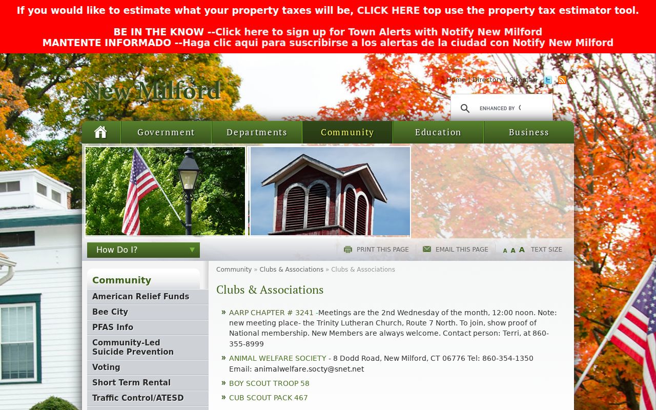
Civic context makes a block search more local without exposing private participants.
New Milford Neighbor Place Clues
Neighborhood language can be a historical key. Gaylordsville is tied to a 1725 log-house story, an 1843 station called Merwinsville, a preserved one-room schoolhouse, and the 06755 postal association. Northville, Merryall, and Lanesville also appear as local place names. The Village Center brings the Green, Main, Bridge, Railroad, Town Hall, Heritage Inn, and Clifford Chapin station into one civic geography.
Use those public landmarks to identify which block or source a record describes. A schoolhouse, polling place, river trail, or station name can anchor a newspaper or map search, but it does not show that a person attended, voted, lived, or belonged there.
The New Milford Village Center page documents the central street and landmark relationship.
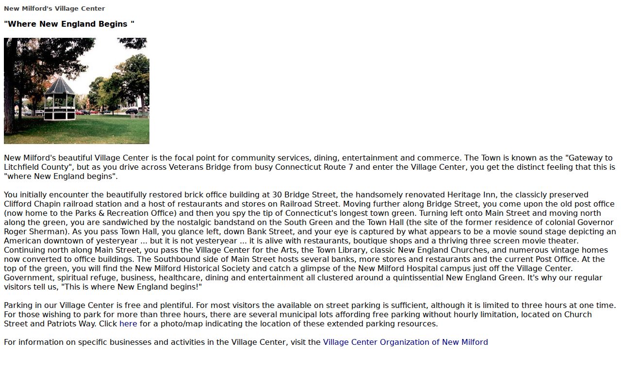
Public place names are strong disambiguators for the block, especially when a historic record uses a village or station line.
New Milford Neighbor Record Requests
Some address-linked records are not available through a public search box. New Milford Police Records Division provides a request form for an incident report using first name, last name, phone, incident date, case number, and email. The department generally reports a five to seven officers’ working-day response, with fees and exemptions reviewed after the request. A local records check requires a release and valid photo ID and is limited to current or past New Milford residents.
Use a police or municipal request for a defined incident, date range, case number, permit, meeting record, or agency file. Connecticut FOIA gives inspection and copy rights to existing records, but an agency may redact protected information. A report request is not a neighbor list, and a report is not the same as a court disposition.
The New Milford incident-report request shows the public form fields.
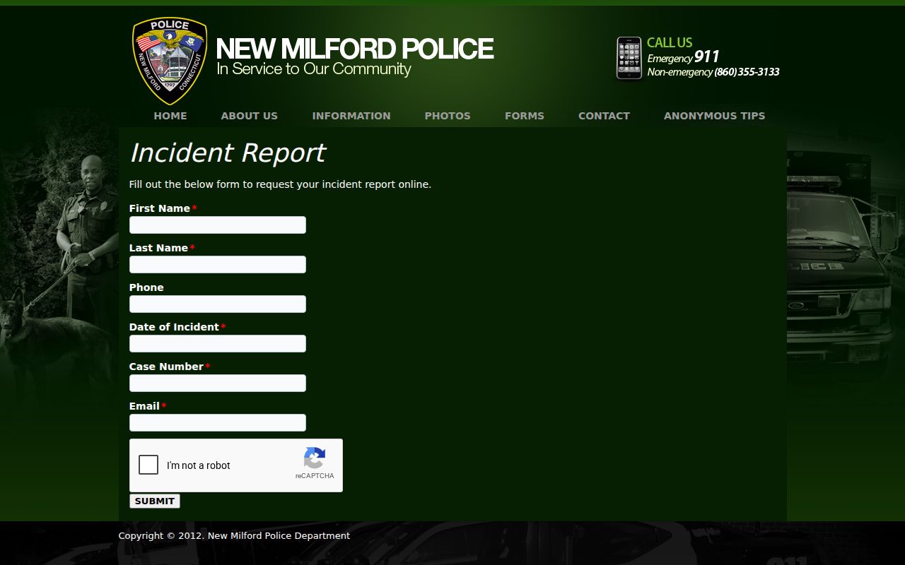
Keep any request tied to the agency and record type, rather than asking for every person associated with a block.
New Milford Neighbor History Records
Historical neighbors can be traced through the same address chain used for a house history. The 1853 named-owner map supplies selected owners and buildings. Sanborn sheets from 1887, 1892, 1897, 1904, and 1909 supply footprints and uses. Directory editions and telephone books add dated street entries. Schoolhouse pages can explain a local institution without turning the institution into a resident record.
Compare a historic block by street, number, nearby public landmark, footprint, and legal description. A current parcel map is a crosswalk, not proof that the old street line and modern parcel are identical. Gaps between editions should remain visible.
The New Milford Historical Society schoolhouse collection supplies a dated public-place clue.
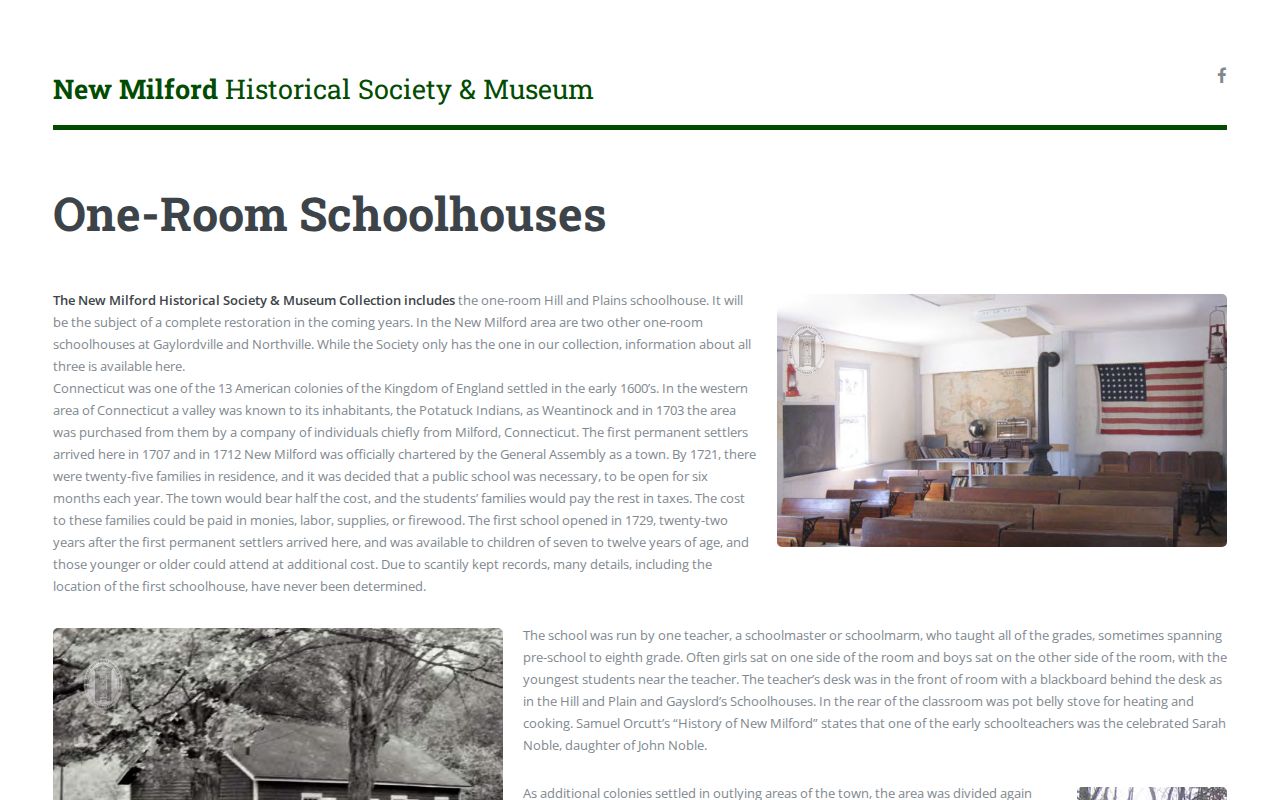
Schoolhouse history adds a dated place clue and keeps the neighborhood story rooted in a public institution.
New Milford Official Neighbor Records
Commercial neighbor-lookup tools may merge old addresses, names, and unrelated records. They are not official New Milford or Connecticut custodians, and a paid result does not fix an uncertain identity. Official sources have limits too, but their keeper, date, and record type can be checked.
| Source Type | Strength | Limit |
|---|---|---|
| Town parcel and deed records | Named custodian and recorded land trail | Owner or party is not automatically an occupant |
| MapGeo and Vision | Local parcel keys and spatial context | Map warranty and mailing/situs limits |
| Dated directories | Historical name and street clue | Edition-specific and often incomplete |
| Commercial tools | May gather many public and private data points | Unclear provenance, stale merges, and no official authority |
Use the official source that answers the narrow question, then stop when the evidence stops. More names are not the same as better evidence.
New Milford’s clubs page is a civic lead rather than a formal roster of residents. If a block organization matters, date the page and check its public contact route before treating it as current. Do not infer membership from a parcel, polling place, schoolhouse, or trail name.
Privacy Limits on New Milford Neighbors
A block search cannot show every household member, private phone, utility account, delivery record, protected voter, sealed court detail, or current occupant. Connecticut’s Address Confidentiality Program protects eligible participants with a substitute address, and voter privacy rules limit ordinary public fields. A missing name or address is not proof that a person is absent.
Label owners, entities, parcel lines, historical entries, civic organizations, and official requests accurately. Do not publish full dates of birth, Social Security numbers, protected addresses, or private contact details. When a result is wrong, ask the custodian to correct the source record.
Lawful use. New Milford neighbors research is for getting to know a public place, reconnecting, family history, and personal safety awareness. Do not use it to watch, stalk, harass, intimidate, or harm anyone.
For a whole named street and its current record chain, use the New Milford street directory. For one person, use the narrow resident lookup tied to a second identifier.